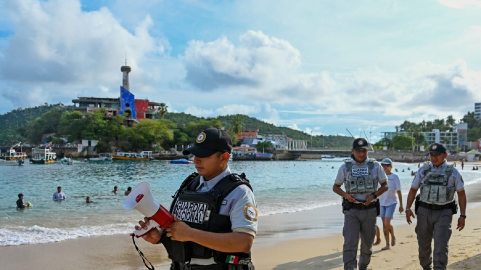
Hurricane Polo strengthens to top category 5 off Mexico / Photo: Francisco Robles - AFP
Hurricane Polo reached maximum category 5 strength off the Pacific coast of Mexico on Tuesday but is expected to stay at sea, the US National Hurricane Center (NHC) said.
Polo intensified from category 1 to category 5 on the Saffir-Simpson scale in less than 24 hours. It now has sustained winds of 160 mph (260 kph) and is expected to strengthen further.
"The core of Polo is expected to be near the coast of southwestern Mexico during the next few days, although forecast to remain offshore," the NHC said.
The NHC said Polo could still trigger life-threatening flooding and mudslides and strengthen into Wednesday, even though it will not make landfall.
Mexican authorities are on alert. Classes were suspended in Pacific coast states including Guerrero and Michoacan, the first to be hit by heavy rain.
On the beaches and avenues of the popular tourist destination Acapulco, in Geuerro, authorities used megaphones Monday to broadcast messages about possible thunderstorms in the area.
"We recommend taking preventive measures at home or at work, checking safety conditions in your home and locating your nearest temporary shelter," they urged.
The town was devastated by Hurricane Otis in 2023.
"It keeps vacationers safe," said Benjamin Martinez, who drove to Acapulco on Sunday from a Mexico City suburb. He had planned to return Thursday but is considering leaving earlier.
"People are a bit worried," Alfredo Mondragon, who provides tourist services on the beach, told AFP.
Mexico suffers from cyclones every year, both on the Pacific coast and the Atlantic coast, usually between May and November.
This year's season is shaping up to be intense because of El Nino, a phenomenon that occurs every two to seven years when the trade winds -- which blow from east to west and normally keep warm water in the western Pacific -- temporarily weaken.
A.Ferraro--NZN